South Shore
The South Shore of Staten Island is a geographical region situated in the borough of Staten Island, New York City.
Geographically, it is generally defined as the area south and east of the island’s ridge of hills, stretching along the waterfront from the Narrows to the mouth of the Arthur Kill. A more specific definition includes neighborhoods between the Raritan Bay shoreline and Richmond Creek and Fresh Kills, from Great Kills to Tottenville. The neighboring East Shore comprises communities along Lower New York Bay.
History
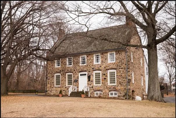
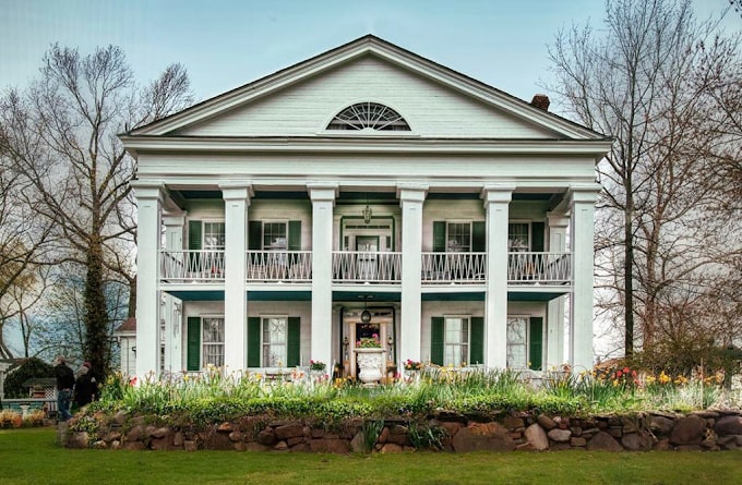
The South Shore was a glacial outwash plain that evolved into a prominent area for oyster harvesting. It remained largely undeveloped until the construction of the Verrazzano-Narrows Bridge in 1964, which spurred rapid urbanization and population growth. Residential development expanded southward, replacing summer bungalows with larger homes and developing areas near creeks such as Lemon Creek. Today, the area features a combination of shopping centers and small businesses. The South Shore also hosts several historical landmarks dating back to the 1600s, including Sandy Ground, a 19th-century community established by free Black New Yorkers, and the Conference House in Tottenville, a site of a Revolutionary War meeting. Other notable landmarks include the Kreischer Mansion in Charleston and Conference House Park.
Notable Attractions
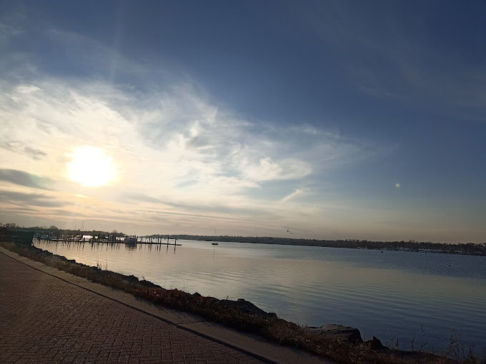
Natural areas and parks in the region include Great Kills Park, Wolfe’s Pond Park in Prince’s Bay, Seaside Wildlife Nature Park, Mount Loretto Unique Area, Cedar Grove Beach, and the Franklin D. Roosevelt Boardwalk and Beach.
Neighborhoods
Communities within the South Shore encompass Annadale, Arden Heights, Charleston, Eltingville, Great Kills, Huguenot, Pleasant Plains, Prince’s Bay, Richmond Valley, Rossville, Tottenville, and Woodrow.
Weather Forecast